Interactive Maps
Click on images to open interactive maps in a new tab.
Find My District
Enter your address to locate and identify which district you belong to.
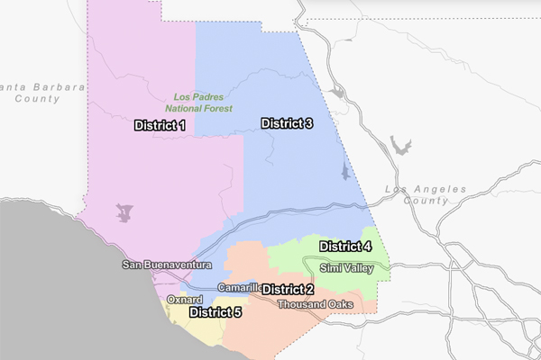
District 1
Ventura County’s First District spans over 260 square miles, stretching from Santa Barbara County to the west and Kern County to the north. It is home to over 203,000 residents, spread across 3 cities, 10 unincorporated communities, and 42 miles of the County’s most beautiful beaches.
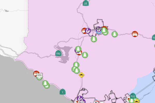
District One encompasses a large portion of the Los Padres National Forest and the Topa Topa Mountains.
Its communities are diverse, vibrant, and are what make the First District so special.
I am proud to represent and serve the residents of the City of Ventura, Montalvo, Saticoy, Ojai Valley, City of Ojai, Upper Ojai Valley, Oak View, Mira Monte, Meiners Oaks, Casitas Springs, Riverpark, West Lockwood Valley, Solimar Beach, Faria Beach, Seacliff, Mussel Shoals, La Conchita, Northwest Oxnard, and Rincon.
District 1 Cities:
Ojai: Ojai, CA | Official Website
Ventura: Ventura, CA | Official Website
Oxnard: City of Oxnard
District 1 Unincorporated Areas and Neighborhoods:
Websites for areas having neighbor councils or municipal advisory boards.
- Montalvo
Montalvo Area Community Council – Representing the residents of Ventura City Voting District 6 - Saticoy
Saticoy MAC – Board of Supervisors - Ojai Valley
Ojai Valley MAC – Board of Supervisors - Upper Ojai Valley
- Riverpark
Oxnard Neighborhood Locator & Map Tour – select Riverpark - Northwest Oxnard
Oxnard Neighborhood Locator & Map Tour – select Gold Course/Oxnard Dunes - North Coast
- West Lockwood Valley
- Oak View
Ojai Valley MAC – Board of Supervisors - Mira Monte
- Meiners Oak
- Casitas Springs
- Rincon
- Solimar